Spatial Extent
A spatial extent is a marked area used for project views. Once the spatial extent tool is turned off, the spatial extent areas will not be visible on the map (unlike redline). As a System Administrator account, all the extents created will be viewable by all users. As an Internal User, only extents created by that user will be viewable.
After clicking the "Spatial Extent " button, this window will appear:
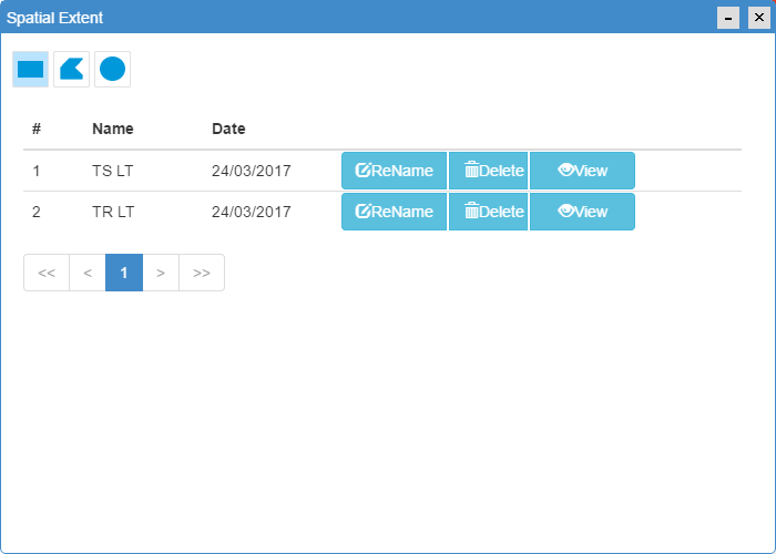
Existing spatial extent areas may appear in the window. To create a new extent,
- Click on one of the geometry buttons:

- Draw feature on map and press "End" to stop drawing
- Edit the name of the extent and Save